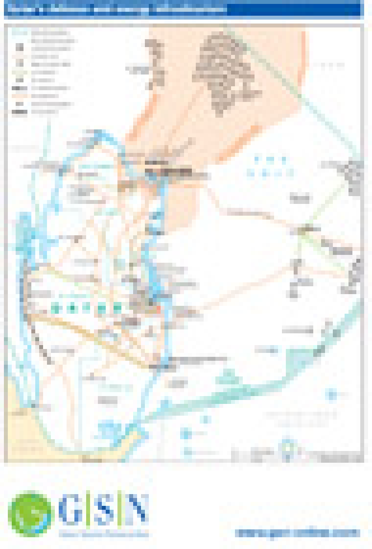


Revised January 2011, this map is an updated variation of the Qatar country map published earlier in January 2011 (Issue 893). The map provides an overview of infrastructure in Qatar including major roads, and hydrocarbons facilities. The location of oil and gas producing areas (including the extent of the North Dome gas/condensate field) and associated pipeline, refineries, processing facilities and tanker terminals are shown. Urban areas, municipality boundaries and Al-Udaid air base are marked.
Single GSN map
£495
(Single GSN map or graphic)
Subscribe to Gulf States Newsletter