Indian Ocean islands’ hydrocarbons exploration plays


Map
Issue 220
01 November 2011

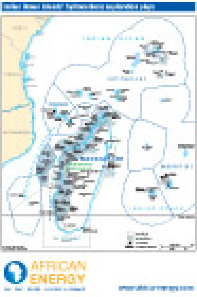
First published in November 2011, this map shows oil and gas exploration areas around Comoros, Madagascar, Mauritius, Reunion, and Seychelles. Detail on the map includes the location of oil tanker terminals, and the names of block operators offshore Madagascar and Seychelles.

Single African Energy map

£895

(1 standard map)

Subscribe to African Energy

View subscription options

Don't have an account?

Register for access to our free content

An account also allows you to view selected free articles, set up news alerts, search our African Energy Live Data power projects database and view project locations on our interactive map

Register

Interested in more than one map?

The African Energy Atlas is the essential reference book for all energy professionals working in Africa, with maps, graphics and articles covering all aspects of the energy sector.

Take a closer look